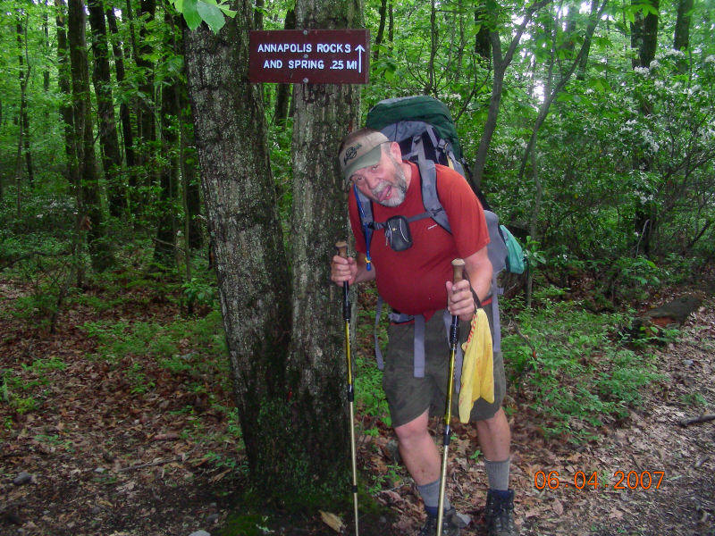
Was hiking with Wing Heart and Backyard
Boogie, a man from Chattanooga, TN at the time. Took this picture of Backyard
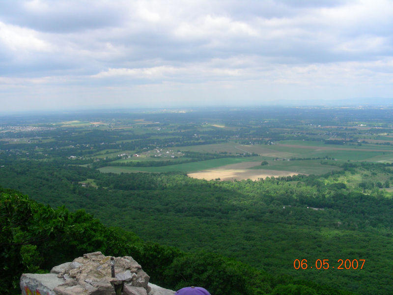
Boogie, hamming it up a bit, just before we approached Maryland’s beautiful
Annapolis Rocks, a beautiful overlook of the Maryland countryside to the South
(WV), West (Hagerstown and Antietam Battlefield) and North.
______________________________________________________________________________
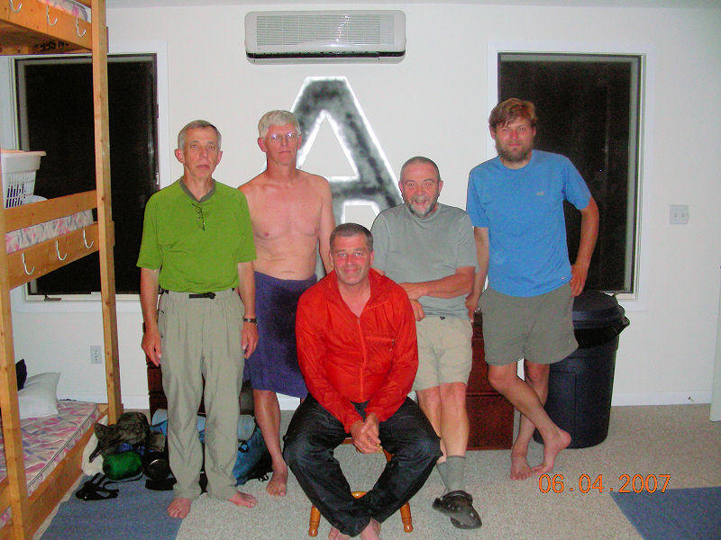
A group picture L-R Castanets, Wing Heart (they pulled him from the shower to take the picture, hence the towel wrap), Stealth (very fast, light hiker in orange top), Backyard Boogie (our threesome hiking partner), and Cave Man of Ohio (also a very fast, light hiker). Picture taken at the Free State Hiker Hostel on Wolfsville Rd, Smithsburg, MD.
__________________________________________________________________________________
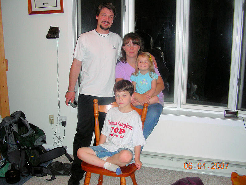
– Family picture of Ken “Bone Pac” (2006 thru
hiker) with wife Jennel Berry, with children, Mack and Megan. They are owners of the Free State
Hiker Hostel where we stayed on the evening of 4 June 07. Their daughter Megan told me
that a man had “lost“ his finger at their house at the same time she had lost
her slipper, so she said she was looking for his finger because the man promised
to look for her slipper if she would look for his finger. Several days later, I
met “Beach Bum” hiking with his father, “Papa Beach Bum” and noticed that the
elder Papa Beach Bum had a missing finger. When I asked if Papa Beach Bum had
stayed at the Free State Hostel, he answered yes and I told him that the little
girl was still looking for his finger. He laughed when I asked him if he had
found her slipper as he had promised to do!
___________________________________________________________________________
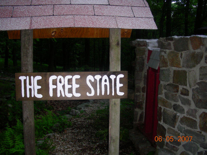 |
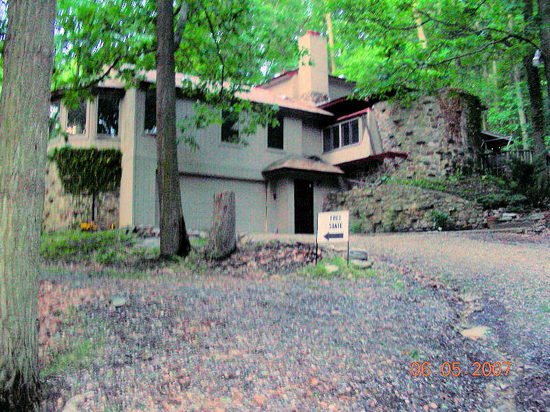 |
Pictures of the Free State Hostel where we stayed 4 June 07. The Berry family lived downstairs and the hikers had the upstairs kitchen, game room, bunk room and bath/laundry room.
|
__________________________________________________________________________________________________
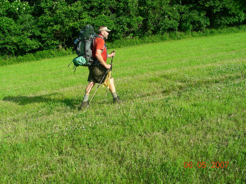
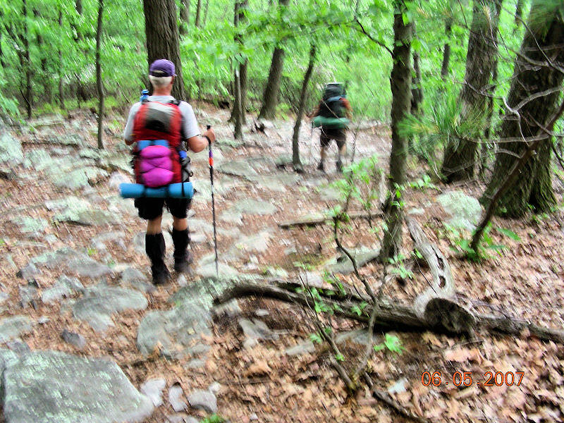
Backyard Boogie on 5 June as Wing
Heart, Boogie and I hiked to the Mason Dixon line and out of Maryland.
________________________________________________________________________________
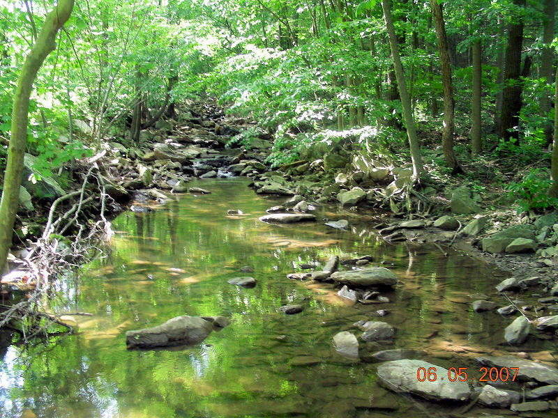
Maryland stream we crossed 5 June as we hiked north to the Maryland-PA border.
_________________________________________________________________________________
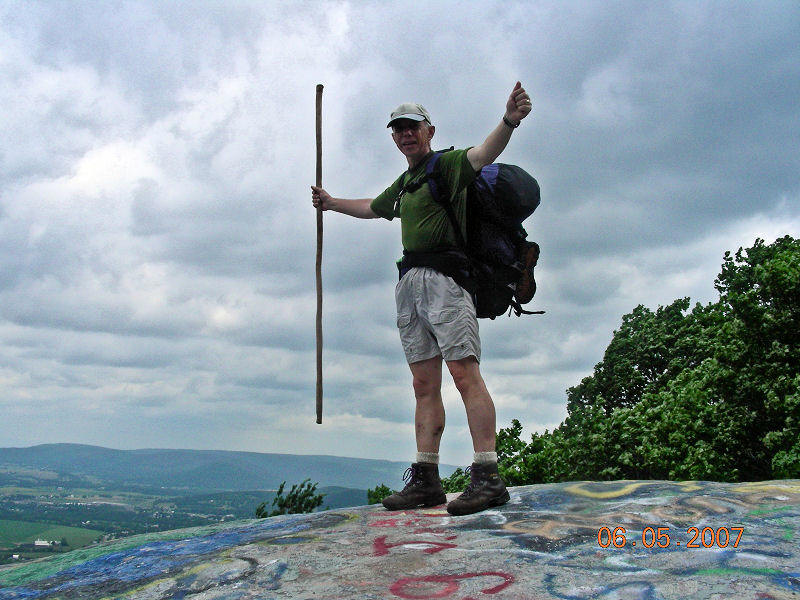 |
 |
Pictures from the Maryland High Rocks Overlook. The site was and still is used as a Hang Gliding jump point – notice all the graffiti at my feet. Beautiful view though of the MD and PA countryside looking South – West and a bit North.
|
Wing Heart (purple Ravens’ cap) and Backyard Boogie on the trail to the
Mason-Dixon Line.
_________________________________________________________________________________
 |
 |
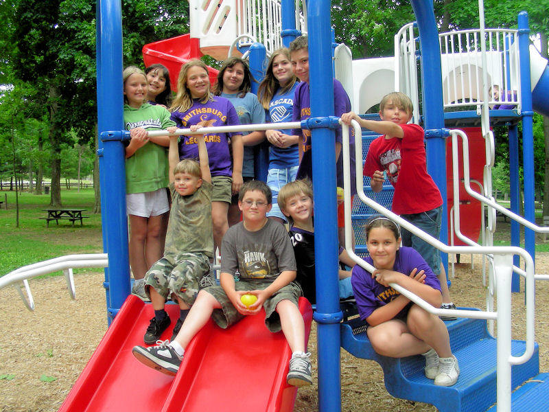 |
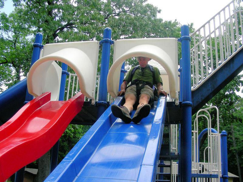
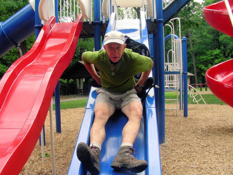
Scenes from the PenMar (Pennsylvania-Maryland)
Park on the PA and MD state border (Mason Dixon Line). We stopped for lunch and
met a group of students from a country school who were celebrating their last
days of school for 2007. We stopped for lunch and had a bit of fun using the
slides and swings to relax a bit. I asked one of the children to take my picture
coming down the slide and got stuck at the top with my pack strapped to my back.
The boy told me I had to un-hook my pack so I would fit through the slide oval
at the top. I did so and continued down the slide as he took my picture.
__________________________________________________________________________________________________
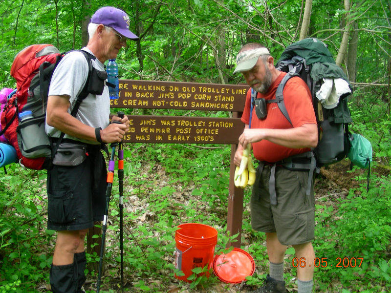
– Wing Heart, Backyard Boogie and I found this
sealed Home Depot can of Trail Magic (candy bars, fruit, crackers and drinks)
left by two Trail Angels on the PA-MD border. We had met the two Trail Angels
hiking south earlier in the day, and they had told us about the location of the
treats. They were hiking the four state challenge in one day (42 mile hike
starting at the PA-MD border all the way south to the WV-VA border.
____________________________________________________________________________________

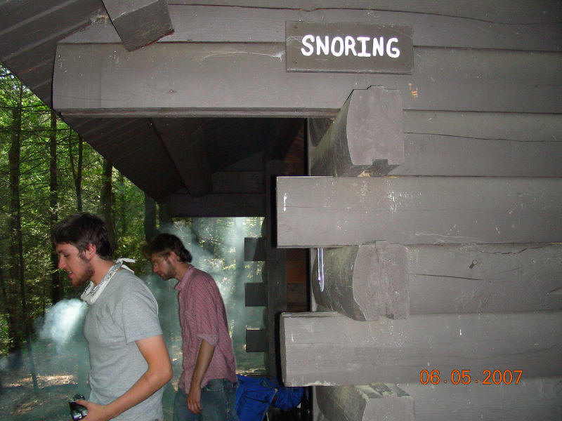
This is the first picture of the Tumbling Run
Shelters where we stayed the night of 5 June. Notice the shelters are labeled
“Snoring” and “non-Snoring” to help relieve midnight sleeping stress. Although
the shelters were nice, most of us tented to minimize bug bites during the
night. I finally ran into the “man with the missing finger (Papa Beach Bum) in
the cream colored shirt sitting in the first shelter. This is where I asked him
if he were still looking for the little girl’s slipper from the Free State
Hostel. The gentleman had lost his finger when he was three years old and is now
78 years old and a retired stock broker hiking the trail with his son, Beach
Bum, who is not in the picture.
__________________________________________________________________________________
 |
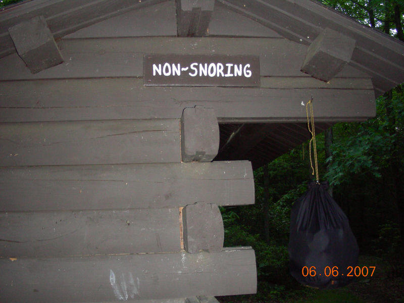 |
Tumbling Run Shelters with “Snoring” and “non-Snoring” signs on each of the two shelters.
|
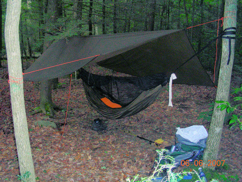
Backyard Boogie’s hammock site near the
Tumbling Run Shelters. I tented (on the ground) with my one man tent the night
of 5 June.
__________________________________________________________________________________
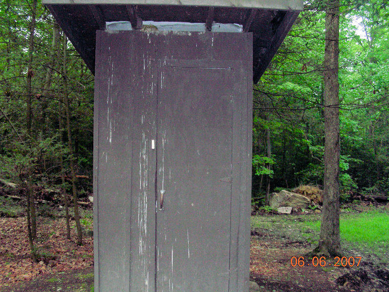 |
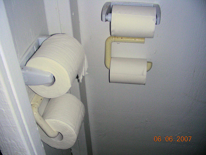 |
Shots of the privy at Tumbling Run Shelter. Notice the doorbell on the privy and four toilet paper rolls. The toilet paper rolls are rare on the trail and usually hikers must provide their own toilet paper.
|
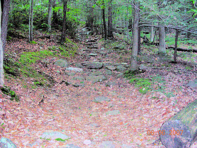
This was part of the steep 900 foot climb the morning
of 6 June up to Chimney Rocks as we departed our Tumbling Run camp site.
________________________________________________________________________________
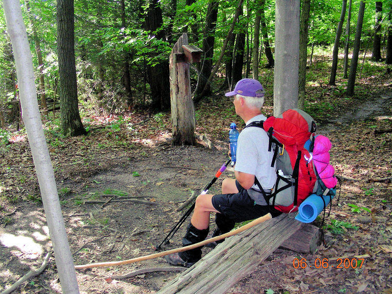
Wing Heart taking a break near the
registration box for the South Mountain segment of our hike in PA. Although we
are in PA, notice that we haven’t yet run into the bad rocks on the trail.
__________________________________________________________________________________
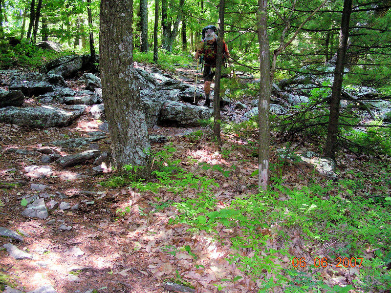 |
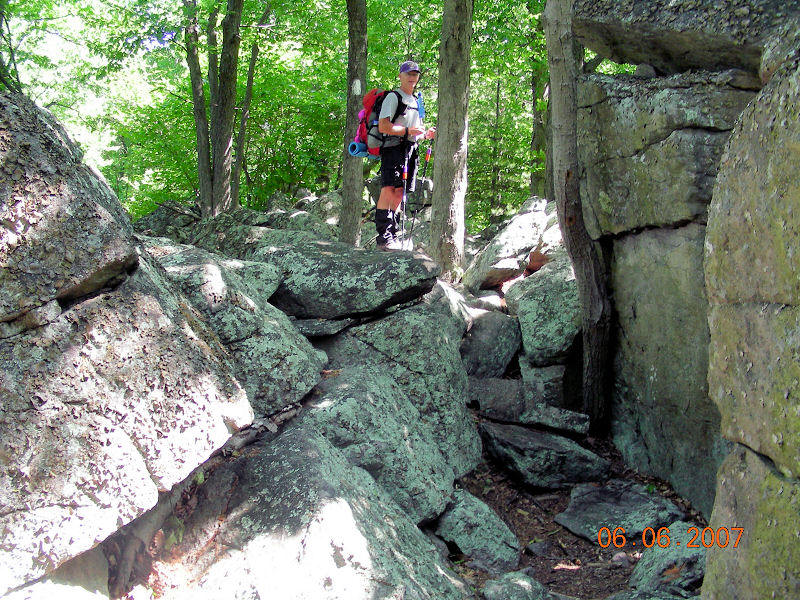 |
Now the rocks! Backyard Boogie and Wing Heart work their way through the rocks, 6 June, as we approached Caledonia State Park. Worse rock collections were to come our way before leaving PA.
|
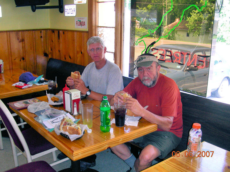
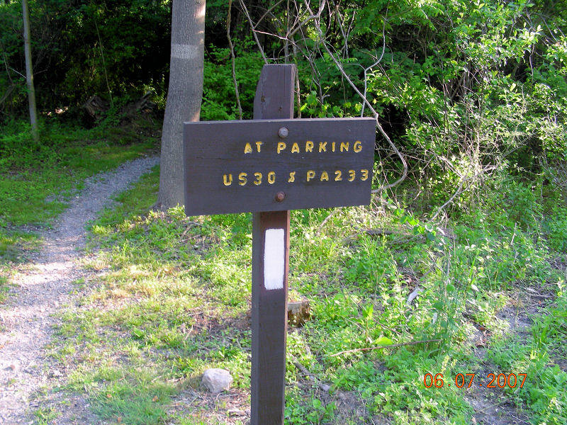
Our lunch reward for getting this far –
Taormina’s Pizza (excellent subs and ice cream) for Wing Heart, Backyard Boogie
and me. We spent an hour lunch here 6 June working our way through sandwiches,
ice cream, sodas and other treats. Nice place to have lunch on US Rt 30, 14
miles East of the Gettysburg, PA Civil War battlefield.
__________________________________________________________________________________
6 June 07 - Wing Heart and Backyard Boogie
were continuing north through Caledonia State Park to Quarry Gap Shelter that
night – a distance of 2.6 miles. Because tomorrow (7 June) was the day I was
leaving the trail to visit with my daughter Sara and sister, Judi, in Washington
DC, I decided to try to do more miles by shuttling ahead 9 miles ahead of the
Quarry Gap Shelter and then hiking back to the Quarry Gap shelter to stay one
last night with Boogie and Wing Heart. After being shuttled North to
Shippensburg Rd by Mike Gelinus, I began my hike South to Quarry Gap and ran
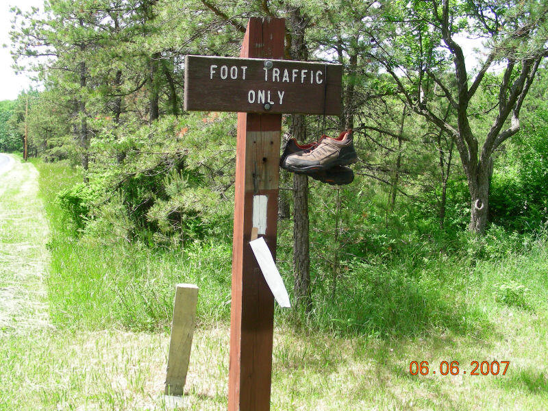
across this pair of “blown out” hiking shoes.
_________________________________________________________________________________
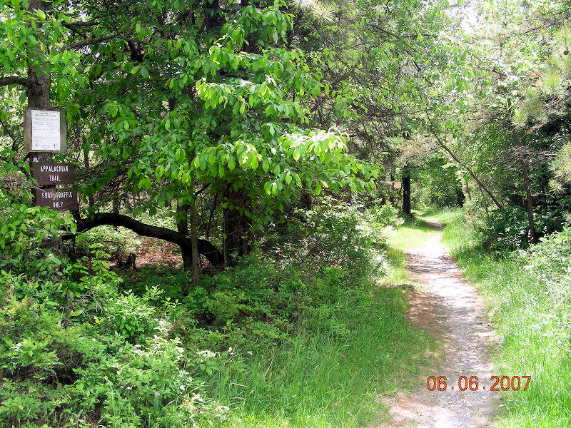
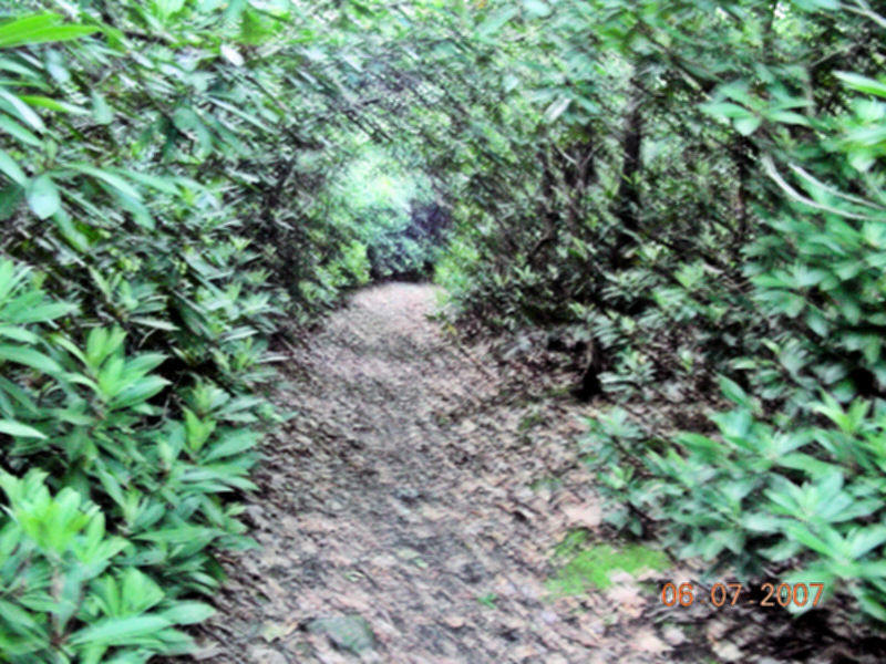
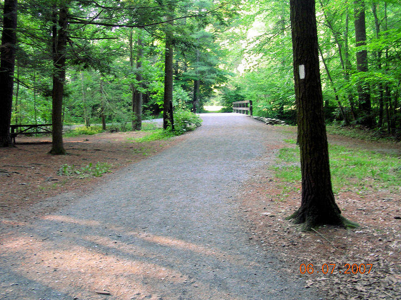
Continuing farther South, I entered some of
the most beautiful scenery on the trail that looked like this stretch of country
road on my way to Quarry Gap Shelter.
___________________________________________________________________________________
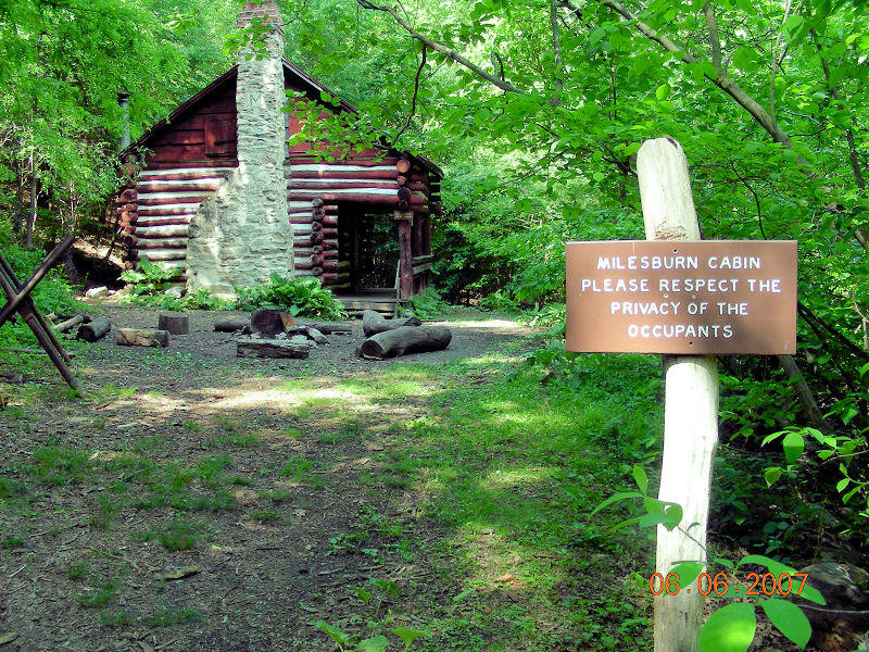
After taking a sharp 400 foot drop down to Milesburg Road, I ran across the Potomac Appalachian Trail Club’s (PATC) Milesburg Cabin.
 |
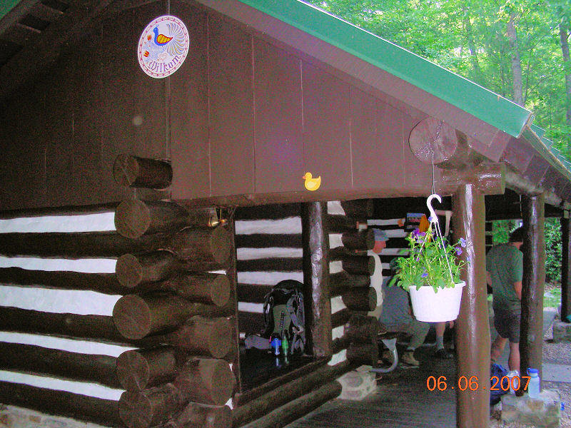 |
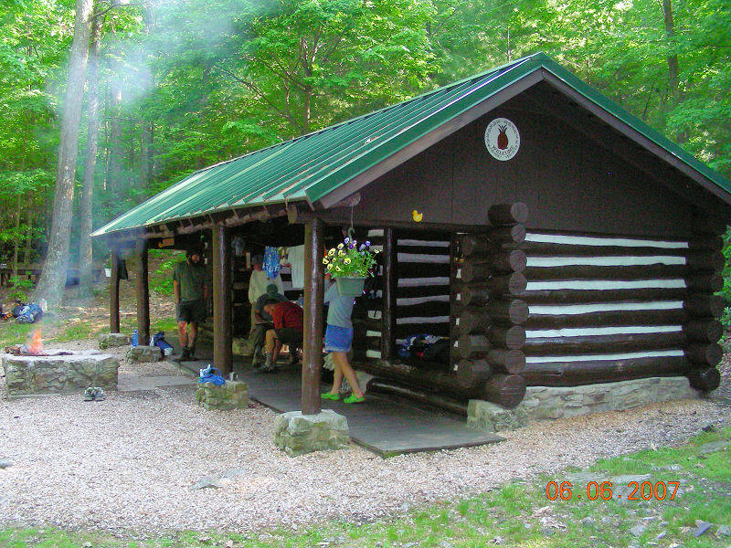
Two views of the Quarry Gap shelter – a dual
shelter connected by a covered breezeway with picnic table, stone masonry fire
pit and numerous satellite tent sites. There was good running water at this
shelter which demonstrated some of the finest maintenance and care of any
shelter on the AT thus far. I decided to tent among the rhododendrons and a
small stream a short distance from the shelter that night (6 June).
___________________________________________________________________________________________________
 |
 |
– My tent site in the rhododendrons near the Quarry Gap Shelter.
|
 |
 |
 |
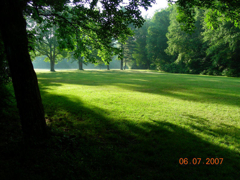
Scenes from Caledonia State Park bordering on US Rt 30 as I left the trail for Hagerstown, MD Airport to pick up a Thrifty rental car before heading to meet daughter Sara at her apartment in Washington DC on 7 June 07.